Hollywood Cemetery is a beautiful, sprawling old cemetery overlooking the James River just west of downtown Richmond. Established in 1849, Hollywood Cemetery is the final resting place of two U.S. Presidents, James Monroe and John Tyler, and Jefferson Davis, the only President of the Confederacy. Also buried at Hollywood are 28 Confederate Generals including JEB Stuart and George Pickett as well as a considerable number of Confederate soldiers, both known and unknown. The Monument of Confederate War Dead is found there as well in the form of a 90 foot pyramid dedicated in 1869.
We enjoyed our visit to Hollywood Cemetery and spent several hours there. It has quite a history and some beautiful examples of funerary art. The President’s Circle includes the two presidents mentioned above and local celebrity burials as well. The south side of the cemetery offers beautiful views of the James River and Downtown Richmond. We used the Girl Scout Self-Guided Tour Pamphlet (found HERE) to help us find our way around. It can be tricky, but it’s not big enough to get really lost. I hope you enjoy these photos from Hollywood Cemetery.
The photos below come from a recent visit to the battlefields of the greater Richmond/Petersburg Area. With the exception of the first few from Gaines Mill which was important to the Peninsula Campaign of 1862, most of these battles were part of the 1864 Overland Campaign. This long, brutal and bloody series of battles would eventually lead to the capture of Petersburg and the fall of Richmond which set the stage for the surrender of the Army of the Potomac at Appomattox. Civil War Chronicles will trace the major battles of the Eastern Theater of the war through photos and brief histories
Richmond was not the original capital of the Confederacy, but became the capital after Virginia seceded from the Union in April of 1861. Richmond and neighboring Petersburg were major industrial hubs with rail lines connecting to points near and far and the James River to further move supplies in and out of the area. The rivers surrounding the city made defending it somewhat easier as well. Because of the strategic importance of Richmond, it would be the focus of several major campaigns during the war.
Our visit started at Gaines Mill Farm which saw some of the worst fighting of the Seven Days Battle during the Peninsula Campaign of 1862. This battle was the first in which Robert E. Lee had command of the Army of Northern Virginia following the wounding of Joseph Johnston. Lee’s ability to hold off George McClellan and his Union forces would direct the war away from Richmond and back to Northern Virginia to Fredericksburg and Chancellorsville which we visited several weeks ago…
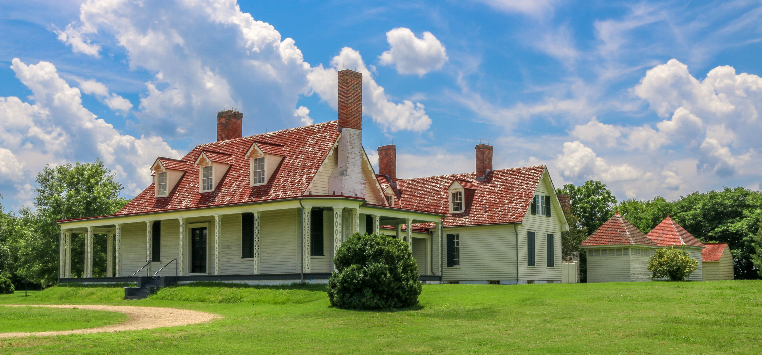
In 1713, two colonists were granted a tract of land extending from what is now Cleveland Park all the way to present-day Rockville. That tract long predates both the city of Washington DC and the United States as a whole, and its owners named it “Friendship”.
By the turn of the 20th Century, only two homes were located in the area, one was located a few hundred yards back from Wisconsin Avenue in a grove of silver maples, and the other lay closer to the road and was owned by the Ball family. This home had an attached blacksmith shop and also served as a changing station for stagecoaches bound between Rockville and Georgetown. In the early 1900s, trolley tracks were laid connecting Georgetown to Montgomery County, and the area became prime real estate.
Over the next decade, the land was purchased and subdivided by two men, Albert Shoemaker and Henry Offutt, and a small community began to developed. By 1914, the Village of Friendship Heights and The Hills was recognized by the state of Maryland, and the community around it was also known as Friendship Heights. This was a rural area, and an annual fall hog slaughter was a much anticipated event…
The area we now call Cleveland Park in Washington D.C. was once a part of a massive 1000 acre estate owned by Colonel Ninian Biell. He called his estate Pretty Prospect and built a small stone cottage on the land in 1740. In 1790, the property was acquired by General Uriah Forrest, who would later become mayor of Georgetown, and a large wood-framed house was built onto the front of the stone cottage. Forrest renamed the property Rosedale. When his son inherited this land, he built an even bigger home and called it Forrest Hill. In 1886, Forrest Hill was purchased as a country retreat by then-president Grover Cleveland who converted the house into a Victorian mansion and renamed it Oak View. It is from President Cleveland that the current neighborhood takes its name.
After Cleveland lost his reelection bid in 1889, the land was purchased and converted into housing subdivisions. The neighborhood’s early success was made possible by the Rock Creek Railway line which ran up Connecticut Avenue from downtown all the way to Chevy Chase Lake in Montgomery County, Maryland. In order to make this streetcar line happen, a massive bridge had to be built over the Klingle Valley and Rock Creek connecting the area to the rest of the city. The neighborhood developed around the natural contours of the land, with a little help from the firm of landscape architect Frederick Law Olmstead, and you’ll find more winding roads here than in most parts of the city. Many of the houses were built to be unique to those around them and many were designed by renowned architects of the day. The result was that Cleveland Park was once heralded as the “prettiest suburb of Washington”, and many of those beautiful houses survive in the neighborhood today.
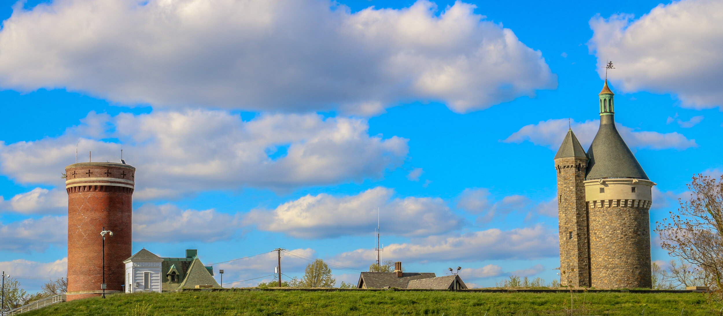
Tenleytown grew up around the intersection of what are now River Road and Wisconsin Avenue, two roads which long predate both the city of Washington D.C. and the United States. River Road, in fact, predates European settlement to the area altogether, serving as a Native American trail to the Potomac River. In the early days of European settlement, the roads were used to transport goods from surrounding farms to Georgetown, then a major port city on the river. It is not surprising, then, that John Tennally, from whom the neighborhood takes its name, would build a tavern and blacksmith shop at the intersection of these historic roads. A small community soon grew up around the tavern and was known as Tennally’s Town. During the Civil War, Fort Pennsylvania was built nearby to protect the Capital City and was later renamed Fort Reno. After the war, a small African-American community known as Reno City was built in the area. When a streetcar came through at the end of the 19th century which connected Tenleytown to Downtown Washington, the neighborhood began to grow and flourish. Woodrow Wilson High School, Alice Deal Middle School and a water revoir and water tower were built, sadly displacing many of the residents of Reno City in the process. A proposed hospital on the site was never built. As the neighborhood developed, two major retailers, Sears and Roebuck and Hechinger’s Hardware Store, opened for business in Tenleytown and a Metro station further connected the neighborhood to the rest of the city. Today, Tenleytown is embracing its history as one of the oldest neighborhoods in what is now Washington D.C. with a wonderful historic walking tour and several historic plaques around town.
Chevy Chase dates back all the way to 1725, when Col. Joseph Belt was granted 1000 acres by Lord Baltimore, the first proprietor of the Colony of Maryland. Col. Belt, who had commanded the Prince George’s County Militia in the French and Indian War, named his new farm Cheivy Chase after an area in Northern England. A portion of the land was bought up for development in the late 1800s, and lots began to sell when a streetcar line connected the neighborhood to downtown Washington. Many of the houses in Chevy Chase were bought straight from a Sears and Roebuck catalog and remain standing today. Much of the architecture in the area is in the humble Bungalow, Foursquare and Dutch Colonial styles, but many of my favorites are in the less well represented Tudor revival style. Some of the key landmarks of the community are Magruder’s Market which opened in 1875, the 1923 Avalon Theater and the far newer Chevy Chase Library and Community Center. Chevy Chase is my home neighborhood, and I have wonderful memories from my childhood of movies at the Avalon, art and gymnastics classes at the community center, going to the old Riggs Bank with my grandmother and for ice cream at the long-gone Baskin Robbins. I often take my morning walk up Connecticut Avenue, the central road of the neighborhood, and reminisce about times gone by and five generations of my family who have wandered these streets. It made my heart feel good to go out and shoot these photos of my home neighborhood.
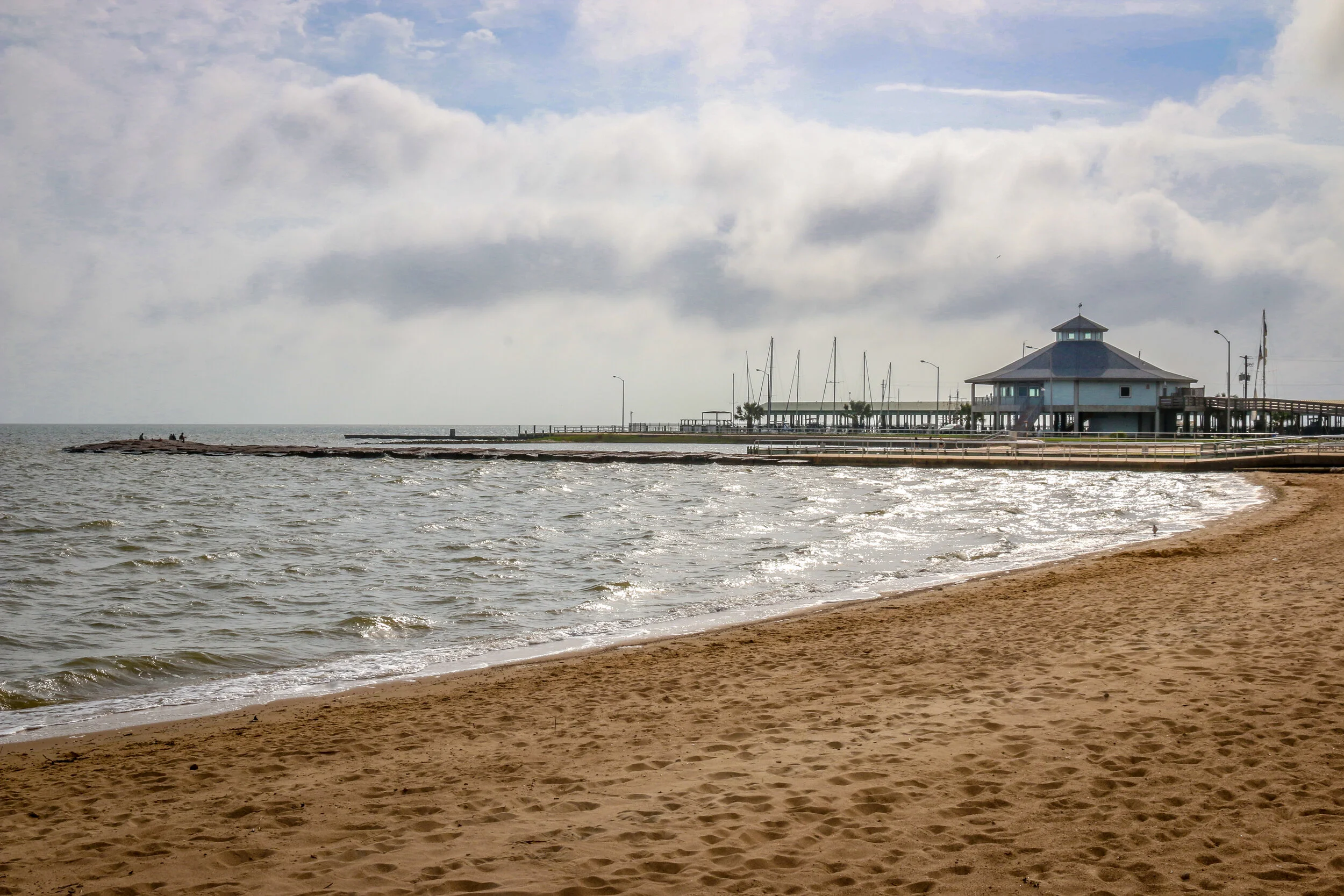
South Texas was the end of the road for me on this leg of my journey. I set out to make it across the country to the Pacific Ocean and back over the next 16 months or so, but the coronavirus put an end to all of that. When things started going from bad to worse further north, I made my way all the way south to South Padre Island and Port Isabel, stopping off at Palo Alto National Historical Park along the way. The battlefield was awesome to see and I had it almost entirely to myself. I learned a lot about the first battle of the Mexican-American War, and the two future presidents (Ulysses S. Grant and Zachary Taylor) who fought in it. The prickly pears were just starting to bloom, and the day was just on the verge of being too hot to be out in the sun. It was a beautiful and fascinating place. From there I headed to the coast and hunkered down for almost a week. While everything was pretty much shut down, I enjoyed the beach, sand art, peace and quiet and beautiful sunsets on the bay. When Shelter-In-Place orders came down for the beach communities, I knew it was time for me to head home, making this the end of the road for now. I was glad I saw it and had the chance to spend some time in this tiny, far out corner of America.
Corpus Christi’s Marina Arts District is a wonderful story of urban renewal and public art. When Terry Sweeny moved to Corpus Christi in 2014, he found a city, like so many others, which had sold its soul to suburban sprawl. He also saw an area with tons of potential and set about trying to revitalize downtown. He joined forces with Brad Lomax, who had been working on revitalizing downtown Corpus Christi for years, and a dedicated group of like-minded citizens. The result is staggering. The colorful murals and public art projects make downtown look clean, sharp and vibrant. If you look closely enough, you’ll see that there are still plenty of empty storefronts looking for an opportunity to be resurrected, but they are hard to spot as your eyes are constantly drawn elsewhere. My favorite part is the wonderful seawall walk overlooking the marina on one side, and the Arts District on the other.
I enjoyed my time in the Marina Arts District even though I was there right as everything was closing up shop for a while due to the coronavirus. As I wandered around taking these photos, I heard wonderful music echoing up and down the empty streets. When I finally found where it was coming from, I sat for a few minutes to listen to the performance of a wonderful street musician in front of the shuttered Executive Surf Club. I needed a few songs in my day to blow thoughts of the virus away, and he gave me hope with his music. And hope is a wonderful thing. It is, in fact, the only thing more powerful than fear. I know I’ll be back in Corpus Christi at some point when all of this has blown over. I’m looking forward to it already.
Originally home to the Karankawa people, Palacios was first settled by Europeans in the 1820s. In 1901, the land was purchased by a development company, divided into lots and sold to people looking to settle along the beautiful coast of the Gulf of Mexico. The Southern Pacific Railroad came through about the same time, providing overland access to the town-site. Over the next 20 years, the town grew as a resort community, and many businesses opened their doors to provide for the tourists flocking to the beaches. After World War I, a National Guard base called Camp Hulen opened nearby. The camp would be taken over by the War Department in World War II, eventually accommodating almost 15,000 soldiers. The base was also the site of a POW camp during the war. In the years following the war, Camp Hulen was closed and in 1961 Hurricane Carla slammed into the coast causing major damage. Today, Palacios is a quiet, pleasant seaside community of about 5,000. Home to about 400 shrimping boats, it has been called the Shrimp Capital of Texas. During my visit I found it quiet enough to enjoy its small-town tranquility but bustling enough to know it’s still alive and well. I had only planned on stopping for a few minutes to enjoy some sun by the water, and ended up staying most of the day, taking these photos, enjoying the views and chatting with the locals. I hope you enjoy these photos of Palacio, Texas, Matagorda County’s City by the Sea.
What exactly is Galveston? Is it a typically Southern town? An island with a beach vibe? An historic port city like New Orleans? A Texan town? The answer to all of those is “yes”. Galveston is a fascinating place with so much to offer. Even after a few days there I felt like I had only begun to scratch the surface of the Queen City of the Gulf.
The first non-natives to inhabit Galveston came in 1816 with the pirate Louis-Michel Aury. When Aury went on a raid the following year, he returned to find that the island had been occupied by the infamous pirate Jean Lafitte. Lafitte set up a “Pirate Kingdom” there and remained with his people for the next 5 years. The Port of Galveston was established under the Mexican government in 1825, and the town would serve briefly as the capital of the Independent Republic of Texas in 1836. Galveston, along with the rest of Texas, joined the Confederacy during the Civil War and became a target due to its major port…
Beaumont, Texas traces its roots back to 1824 when Bobby and Nancy Tevis settled on the Neches River and built a small farm. A community grew up around them called Tevis Bluff. Developers Henry Millard, Joseph Pulsifer and Thomas Byers Huling purchased all of the land in the area in 1835 and began selling lots in a town to be called “Beaumont” after Henry Millard’s wife Mary Beaumont. Lumber, cattle and rice were early drivers of the local economy, as was the port which got these products to market. That all changed in 1901 when oil was discovered at Spindletop, and America’s first oil field was developed right there in Beaumont. The town’s population tripled almost overnight and oil has been the city’s main economic driver ever since. Today, Beaumont is a quiet city of about 120,000 people, with most living outside of the downtown core. I found the city to be charming, with a lot of great historical buildings. My favorites were the Jefferson Theater and Tyrell Historical Library. I was sad to see that despite some wonderful efforts at reviving the downtown area there didn’t seem to be much going on there during my visit. Regardless, I enjoyed my stay in Beaumont and it is definitely a city I will return to in the future.
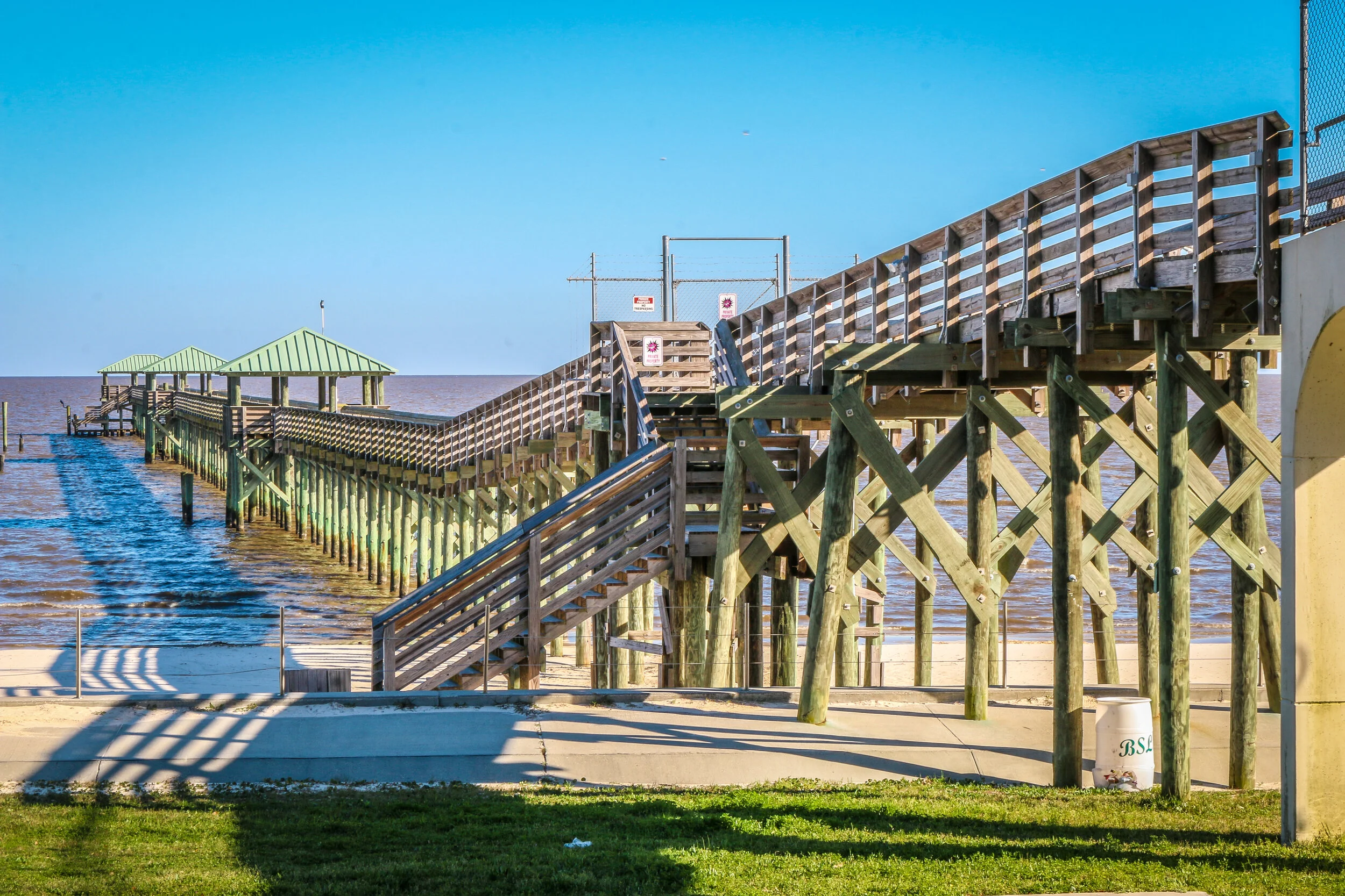
On August 25th, 1699, Jean Baptiste LeMoyne, the Sieur d’Bienville was exploring the region that is now Mississippi’s Gulf Coast under a French flag and named this bay for King Louis IX. A small settlement was begun, consisting of just 16 soldiers. After the area was bought from France as part of the Louisiana Purchase of 1803, it was opened to homesteaders and thousands of people poured in from the Upper South. The town, originally called Shieldsboro, was incorporated by the first Mississippi state legislature in 1818 and it wouldn’t be until 1875 that its original name was restored. Bay St. Louis was severely damaged by Hurricane Katrina in 2005, and is still in the process of recovering from the storm. Today, Bay St. Louis is a charming little town of about 10,000 people. The downtown area is bustling with restaurants, bars and quaint local shops and the beach is a lovely place to while away an afternoon. Located just an hour from New Orleans, Bay St. Louis shares many of the Creole characteristics of The Big Easy. I loved my visit to Bay St. Louis, and found it to be one of the most livable places on the Gulf Coast of Mississippi. But don’t tell anyone that. It’ll just be our little secret. I hope you enjoy these photos from Bay St. Louis, A Place Apart on Mississippi’s Gulf Coast.